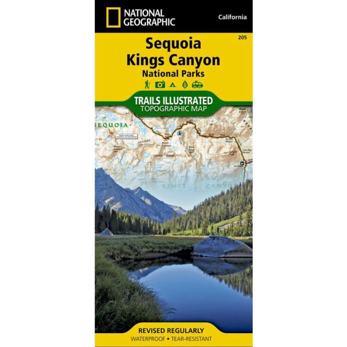
Sequoia & Kings Canyon N.G. Trails Illustrated Map
$14.95
In stock
SKU
002416
Waterproof and tearproof topographic map made of 100% plastic material. Some highlights of the map include: highest peak in continental U.S. - Mt. Whitney; Sequoia Grove boundaries; Giant Sequoia National Monument; John Muir, Golden Trout, Jennie Lake and Monarch Wilderness Areas; John Muir Trail and Pacific Crest Trail. Includes UTM grids for use with your GPS unit. New features: This revised map is updated with new shaded relief and contours. The trails have been enhanced and road and trail mileage have been added to create a more usable map for both parks. UTM grids have been added to make it more usable with your GPS.
Write Your Own Review