Mt Whitney N.G. Trails Illustrated Map
$11.95
In stock
SKU
002181
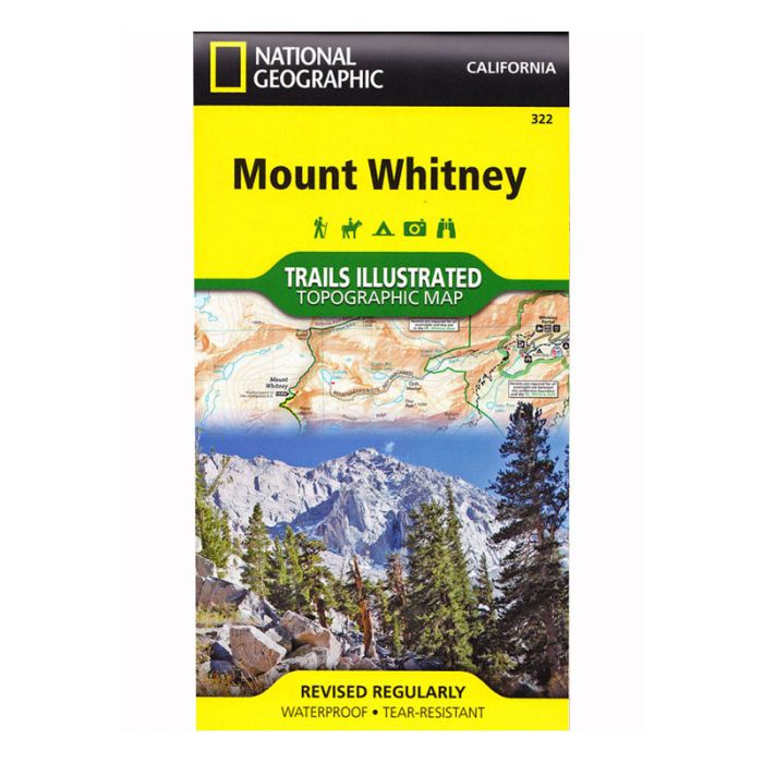
The front side of the map details the topography, hiking and horse trails of Mount Whitney’s south side, through Sequoia National Park, Inyo National Forest and Golden Trout Wilderness. The Pacific Crest Trail cuts a treasured pathway through the map, with clearly illustrated amenities available at Cottonwood Pass and Cottonwood Lakes campgrounds just a short hike away. The inset features tips on backcountry safety, contact numbers, and essential information about the region.
The north side topography on the reverse side treks through Sequoia National Park, Sequoia-Kings Canyon Wilderness, Inyo National Park, and the John Muir Wilderness. Both the Pacific Crest and John Muir Trails are highlighted, along with the complete and most popular route for ascending the mountain, the 11-mile Mount Whitney Trail (alternate routes are also shown). View the amenities of the Lone Pine, Tuttle Creek, and Whitney Portal campgrounds, where hikers begin to acclimate. An inset illustrates the elevation of the Mount Whitney trail profile to its 14,494 foot summit.
The north side topography on the reverse side treks through Sequoia National Park, Sequoia-Kings Canyon Wilderness, Inyo National Park, and the John Muir Wilderness. Both the Pacific Crest and John Muir Trails are highlighted, along with the complete and most popular route for ascending the mountain, the 11-mile Mount Whitney Trail (alternate routes are also shown). View the amenities of the Lone Pine, Tuttle Creek, and Whitney Portal campgrounds, where hikers begin to acclimate. An inset illustrates the elevation of the Mount Whitney trail profile to its 14,494 foot summit.
Write Your Own Review