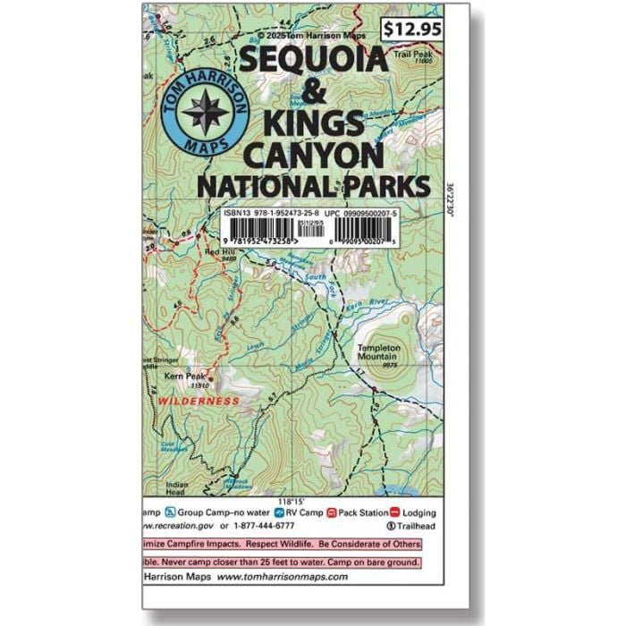
Sequoia & Kings Canyon National Parks Recreation Map
$12.95
In stock
SKU
100351
The Sequoia / Kings Canyon National Park Map covers the entire combined national parks area (SEKI). A wide-area map that shows a vast geography from both sides of the Sierra Nevada range. Westside coverage includes: Mineral King, Giant Forest, Lodgepole, Jennie Lakes Wilderness, Grant Grove and Kings River/Roads End. Eastside coverage includes: Mt Whitney, PCT/JMT, Kearsarge Pass-Rae Lakes Loop, The Palisades, Bishop Pass and Evolution Valley. The map shows trail mileage and elevation points, along with trailheads, campgrounds, ranger stations, equestrian facilities, forest service roads, lodging, RV parks, and more.
Write Your Own Review